
Maps are more than mere navigational tools; they are living archives, historical documents, and cultural tapestries woven with the threads of human endeavor, discovery, and language. For the Spanish language, the relationship with cartography is particularly profound, spanning centuries of exploration, conquest, and the establishment of a vast global empire. From the intricate hand-drawn charts of the Age of Discovery to the sophisticated digital interfaces of today, maps have been instrumental in shaping, preserving, and reflecting the immense influence of Spanish across continents. This article explores the deep symbiotic relationship between maps and the Spanish language, revealing how cartography has been a silent witness and active participant in the story of one of the world’s most widely spoken tongues.
The Dawn of Discovery: Spanish as a Language of Exploration
The Age of Exploration, beginning in the late 15th century, marked a pivotal moment for both cartography and the Spanish language. As navigators like Christopher Columbus, Ferdinand Magellan, and Juan Sebastián Elcano embarked on perilous journeys across uncharted waters, they brought with them not only their ships and ambitions but also their language. The act of discovery necessitated the act of naming. New lands, rivers, mountains, and coastlines required identification, and it was primarily in Spanish that these initial appellations were bestowed.
Early maps, often rudimentary and speculative, began to fill with Spanish toponyms. The Caribbean islands, the vast American continents, and later, parts of Asia and Oceania, saw their indigenous names supplanted or augmented by Spanish equivalents. San Salvador (Holy Savior), the first land sighted by Columbus; Tierra del Fuego (Land of Fire), named by Magellan for the indigenous bonfires; Río de la Plata (River of Silver), an aspirational name given to the estuary leading to what would become Argentina – these names are not just geographical markers but linguistic imprints of a transformative era.
The Spanish Crown, through institutions like the Casa de Contratación in Seville, became a central hub for collecting, compiling, and disseminating cartographic knowledge. Royal cartographers and cosmographers were tasked with creating increasingly accurate maps, not only for navigation but also for asserting territorial claims, managing resources, and administering the burgeoning empire. Every new line drawn, every new place named, solidified the Spanish language’s presence on the global stage.
The Linguistic Legacy: Toponymy as a Historical Record
The most direct and visible impact of this historical period is found in the toponymy – the study of place names – of vast regions of the world. Spanish place names are ubiquitous, especially across Latin America, the southwestern United States, and parts of the Philippines. These names offer a fascinating glimpse into the motivations, beliefs, and observations of the Spanish explorers and settlers:
- Religious Devotion: A significant number of Spanish place names reflect the deep Catholic faith of the colonizers. Names like San Francisco (Saint Francis), Santa Fe (Holy Faith), Santiago (Saint James), La Paz (The Peace, referring to Mary), and countless others dedicated to saints, virtues, or religious events, pepper the maps. This practice served to consecrate the newly claimed territories in the eyes of God and the Crown.
- Descriptive Naming: Many names simply describe a geographical feature or characteristic. Sierra Nevada (Snowy Range), Las Vegas (The Meadows), Río Grande (Great River), Valparaíso (Paradise Valley), and Puerto Rico (Rich Port) are prime examples. These names provided practical information for navigators and settlers, often derived from the first impressions of the landscape.
- Commemorative Naming: Places were also named to honor individuals or significant events. Colombia (land of Columbus), Bolivia (after Simón Bolívar), and the Philippines (after King Philip II of Spain) are prominent examples of this practice, immortalizing figures central to the Spanish colonial project.
- Indigenous Adaptation and Influence: While Spanish names predominated, the colonizers also encountered and adapted many indigenous place names. Sometimes, these names were phonetically transcribed into Spanish, leading to places like Mexico (from the Nahuatl Mēxihco), Cusco (from the Quechua Qusqu), and Guatemala (from the Nahuatl Quauhtlemallan). In other cases, indigenous names were maintained alongside Spanish ones, or even completely replaced over time. This interaction highlights a complex linguistic and cultural exchange, where maps occasionally preserve fragments of pre-Hispanic languages, even as they primarily showcase Spanish influence.
These toponyms, meticulously plotted on maps, serve as a lasting testament to the Spanish language’s historical reach, offering a cartographic narrative of expansion, settlement, and cultural encounter.
Maps as Cultural Tapestry: Identity and Heritage
Beyond mere nomenclature, maps imbued with Spanish place names serve as powerful symbols of cultural identity and heritage. For Spanish speakers worldwide, these maps are not just guides to physical locations but pathways to understanding their historical roots, shared experiences, and linguistic legacy.
In countries like Spain, Mexico, Peru, or Argentina, maps display the continuity of a linguistic tradition that dates back centuries. They illustrate the routes of conquistadores, the locations of colonial cities, and the administrative divisions of former viceroyalties, all articulated in Spanish. For diaspora communities, maps can be vital tools for connecting with ancestral lands and preserving cultural memory.
Moreover, maps can tell a story of cultural amalgamation. The layered toponymy, where Spanish names sit atop or alongside indigenous ones, speaks volumes about the complex process of cultural synthesis and resistance. Efforts to restore or officially recognize indigenous place names on modern maps represent a crucial movement towards acknowledging and honoring the pre-colonial history and linguistic diversity of Spanish-speaking regions.
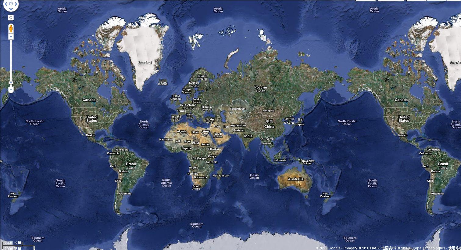
Modern Relevance: Digital Cartography and the Spanish Language
In the digital age, the relationship between maps and the Spanish language has evolved, but its importance remains undiminished. Platforms like Google Maps, OpenStreetMap, and various Geographic Information Systems (GIS) have revolutionized how we interact with geographical information. For the Spanish-speaking world, these digital maps continue to serve multiple critical functions:
- Navigation and Tourism: Spanish speakers, whether traveling within their own countries or abroad, rely on digital maps that accurately display Spanish place names, street names, and points of interest. Tourism in Spanish-speaking countries heavily depends on accessible and accurate cartographic information, often provided in multiple languages, including Spanish.
- Education and Research: Digital maps are invaluable educational tools for teaching geography, history, and language. Students can explore the historical spread of the Spanish language, trace the routes of explorers, or analyze demographic patterns in Spanish-speaking regions. Researchers use GIS to study everything from urban development in Spanish-speaking cities to the distribution of endangered indigenous languages.
- Accessibility and Inclusivity: Ensuring that digital maps and navigation systems are available and fully functional in Spanish is crucial for accessibility. This includes not only the display of place names but also user interfaces, voice commands, and search functionalities. As the number of Spanish speakers grows globally, the demand for such localized cartographic services will only increase.
- Preservation and Documentation: Digital mapping can also play a role in the preservation of linguistic heritage. Projects that map endangered indigenous languages or document historical variations in Spanish place names contribute to a richer understanding of linguistic diversity.
Challenges and Nuances
Despite their unifying power, maps also reflect historical conflicts and ongoing challenges. Border disputes, historical injustices, and political shifts can all be observed through cartographic representations. The names Falkland Islands versus Islas Malvinas on maps, for instance, instantly signal a geopolitical dispute between the UK and Argentina, deeply rooted in historical claims and linguistic sovereignty.
The standardization of place names across different regions and historical periods can also be a challenge. Spellings might vary, or different names might be used for the same location, leading to cartographic complexities. The ongoing debate over the use of colonial names versus indigenous names on official maps highlights the power dynamics inherent in naming and mapping territories.
The Enduring Power of the Map
Ultimately, maps embedded with the Spanish language are more than practical instruments; they are powerful cultural artifacts. They tell stories of ambition, faith, discovery, and endurance. They connect us to the past, ground us in the present, and guide us into the future. From the parchment scrolls of the 16th century to the glowing screens of today, these maps continue to unfold the grand narrative of the Spanish language – a narrative etched not just in books and oral traditions, but also in the very fabric of the earth’s geography.
To explore a map adorned with Spanish place names is to embark on a journey through history, to witness the echoes of empires, and to appreciate the enduring linguistic legacy that has shaped vast swathes of our planet. It is a reminder that language is not static, but a dynamic force that, much like a river, carves its path across landscapes, leaving an indelible mark for generations to come.
